Explore New Zealand through our New Zealand and Districts Interactive Maps and enjoy your pictorial informed journey
via the maps as you make your selection.
Please accept our apologies, as to date; the Far North District is the only comprehensive interactive district map.
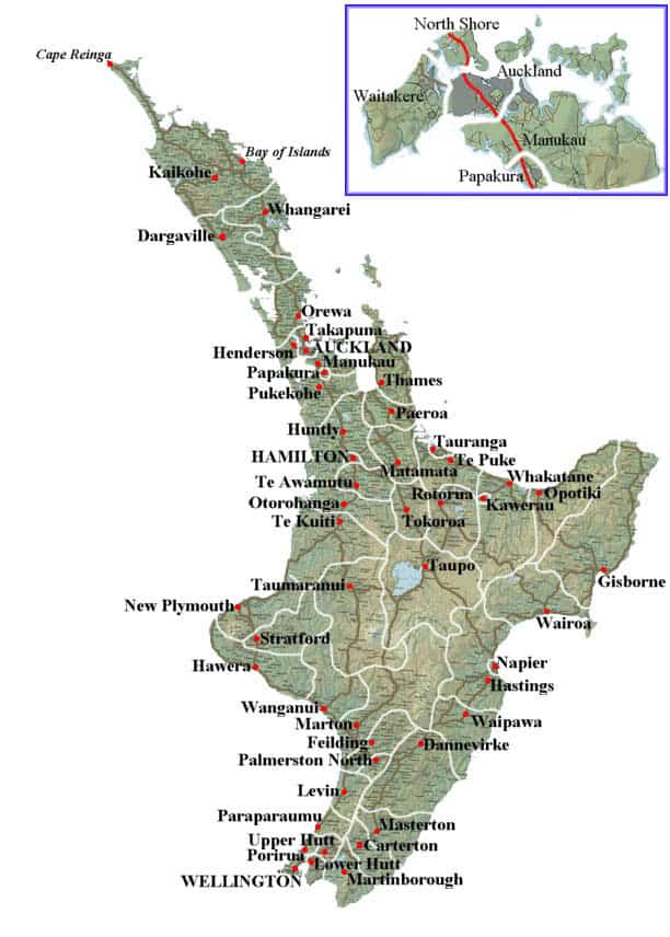
North Island
For the remaining North Island council districts and cities, Eske Style has represented the area through the main town in which the council resides in. The exception being where photos of towns or areas within that district and represented on the districts information page. Read more about New Zealand road trip South Island.
South Island
The South Island district and cities information we are still adding to, and Eske Style has only photos of two thirds of the South Island . As the photos are organised and researched they shall be added to their district which will increase your pictorial tour of the beautiful South Island.